


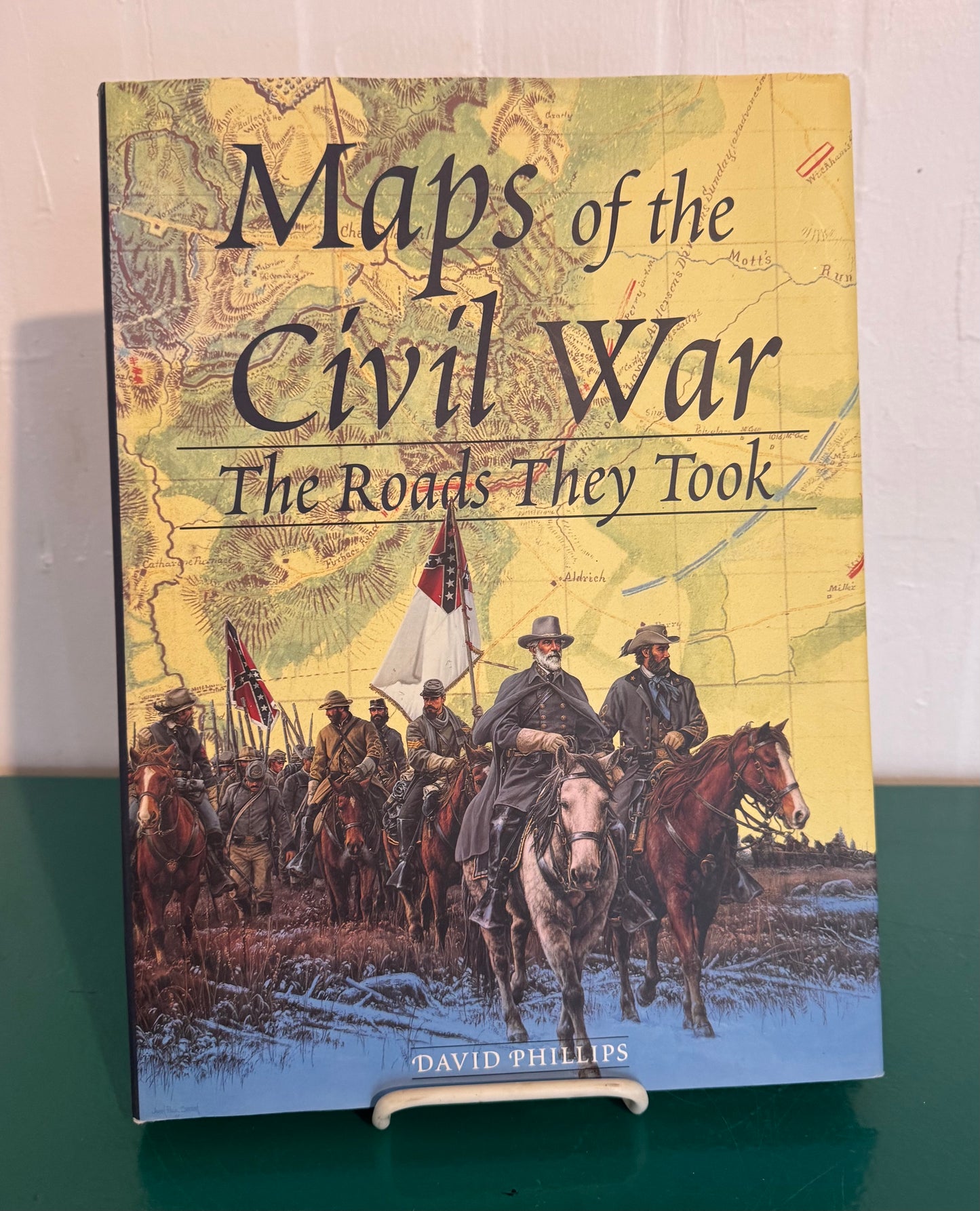
Maps of the Civil War: The Roads They Took (By David Phillips)
Maps of the Civil War: The Roads They Took (By David Phillips)
Maps of the Civil War: The Roads They Took
By David Phillips | Published by Metro Books, Copyright 2000
Genre: Nonfiction, History
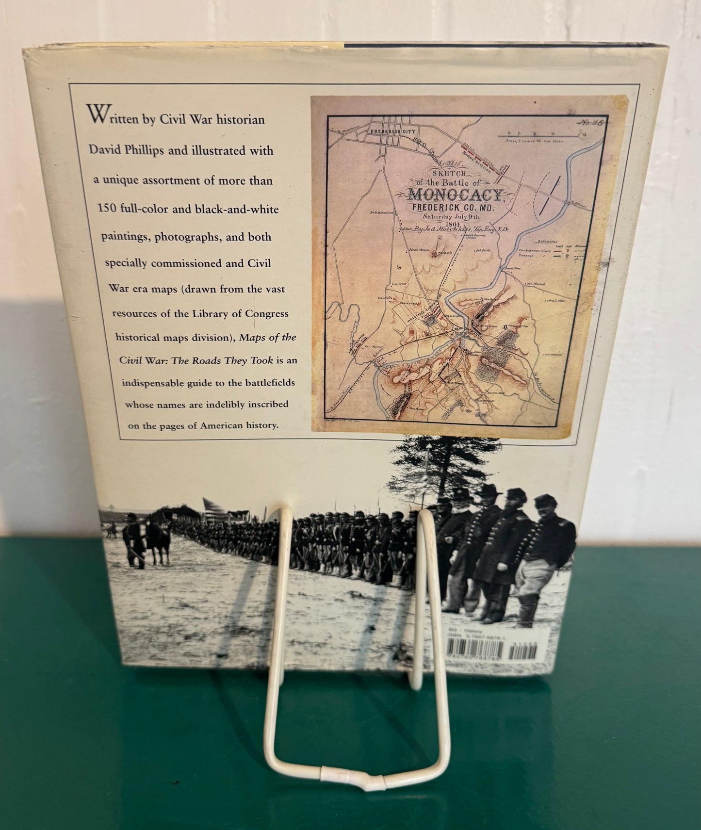
Summary: In this unique view of Civil War history, a distinguished authority on the War Between the States compiles a series of maps describing the topography of famous battlefields in the North and South to tell a compelling story of shifting military fortunes. Organized chronologically, the lavishly illustrated atlas focuses on major battles, showing the dramatic effect of terrain and landscape features on the outcome of each skirmish. In addition to an unusual assortment of maps (including some never-before published and others hand-drawn by soldiers who participated in the battles), Phillips also makes judicious use of paintings, illustrations, and photographs in color and black and white. David L. Phillips is Director of the Nobel Laureates Initiative at the Elie Wiesel Foundation for Humanity. He is also a Visiting Scholar at Harvard's Center for Middle East Studies, and Program Director of American University's Center for Global Peace. He lives in New York City.
Physical Description: Hardcover Book with Jacket, 10" x 13"
Couldn't load pickup availability
Our Collections: American | Antiquarian + Extremely Rare Books | Banned + Controversial | Before 1900 | Children + Teen | Classics + Must Read | Comics + Magazines | Display | Ephemera | History | Modern Rare + Collectable | Music | Only Known Copy | Reference + Educational | Religious + Faith | Vintage + Unique Cookbooks
© 2025, Remarkable + Cherished (a division of N.R. LLC). All rights reserved and vigorously defended.