

The Golden Age of Maritime Maps (Editor Catherine Hofmann)
The Golden Age of Maritime Maps (Editor Catherine Hofmann)
The Golden Age of Maritime Maps
Editor Catherine Hofmann
First published in France under the title L'Age d'or des Cartes Marines © Éditions du Seuil, 2012, USA Copyright 2013
Genre: History
Physical description: Hardcover book with Jacket, 256 pages, color illustrations, color maps, 27 x 29 cm
Subjects: Europe, Mediterranean Region, Indian Ocean, Smithsonian Libraries, Nautical Charts, History, Cartography, Discoveries in Geography, Early Maps, History, Ocean
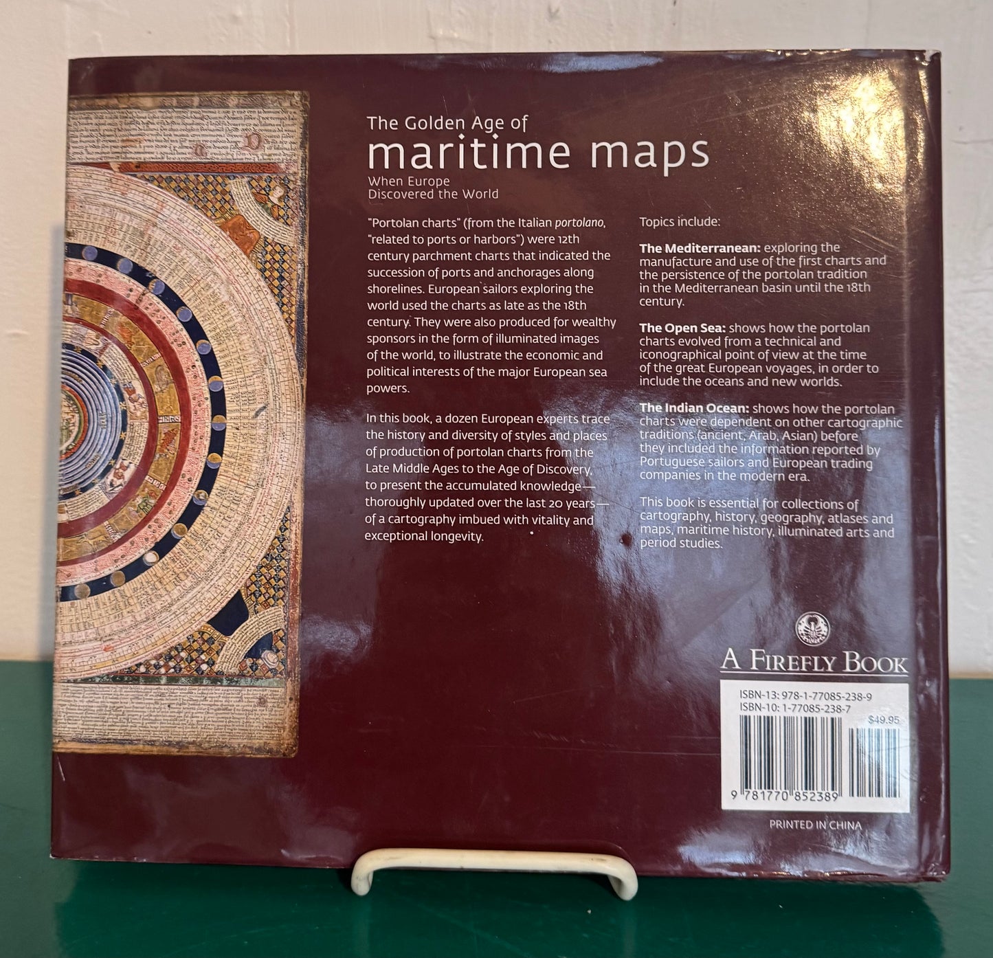
Summary: Portolan charts, 'so called from the Italian adjective portolano, meaning 'related to ports or harbors, ' were born during the 12th century in the maritime community. These charts, drawn on parchment and crisscrossed with lines referring to the compass directions, indicated the succession of ports and anchorages along the shores, and were used by European sailors exploring the world up until the 18th century. Not only used as navigational instruments on boats, but they were also produced for wealthy sponsors in the form of illuminated images of the world, to illustrate the economic and political interests of the major European sea powers. This book takes stock of the state of knowledge on these maps, bringing together contributions from a dozen European specialists, who trace the history and diversity of styles and places of production of these charts. This type of mapping is approached from three angles. The first part, 'The Mediterranean, ' refers to the manufacture and use of the first charts, centered on the Mediterranean, and the persistence of this tradition in the Mediterranean basin until the 18th century. The second part, 'Wide Open Spaces, ' shows how these regional charts have evolved from a technical and iconographical point of view at the time of the great European voyages, to include the oceans and new worlds. The third part, 'The Indian Ocean, ' shows how these charts, in a maritime area where ancient civilizations coexisted, were dependent on other cartographic traditions (ancient, Arab, Asian) before joining the information reported by Portuguese sailors and European trading companies in the modern era."--Publisher's website.
Couldn't load pickup availability

Our Collections: American | Antiquarian + Extremely Rare Books | Banned + Controversial | Before 1900 | Children + Teen | Classics + Must Read | Comics + Magazines | Display | Ephemera | History | Modern Rare + Collectable | Music | Only Known Copy | Reference + Educational | Religious + Faith | Vintage + Unique Cookbooks
© 2025, Remarkable + Cherished (a division of N.R. LLC). All rights reserved and vigorously defended.